Skip to content

Digging I95

  • Project Overview
  • Interactive Artifacts
  • Photo Gallery
  • Archaeological Sites
  • Learn More

Neighborhood Maps

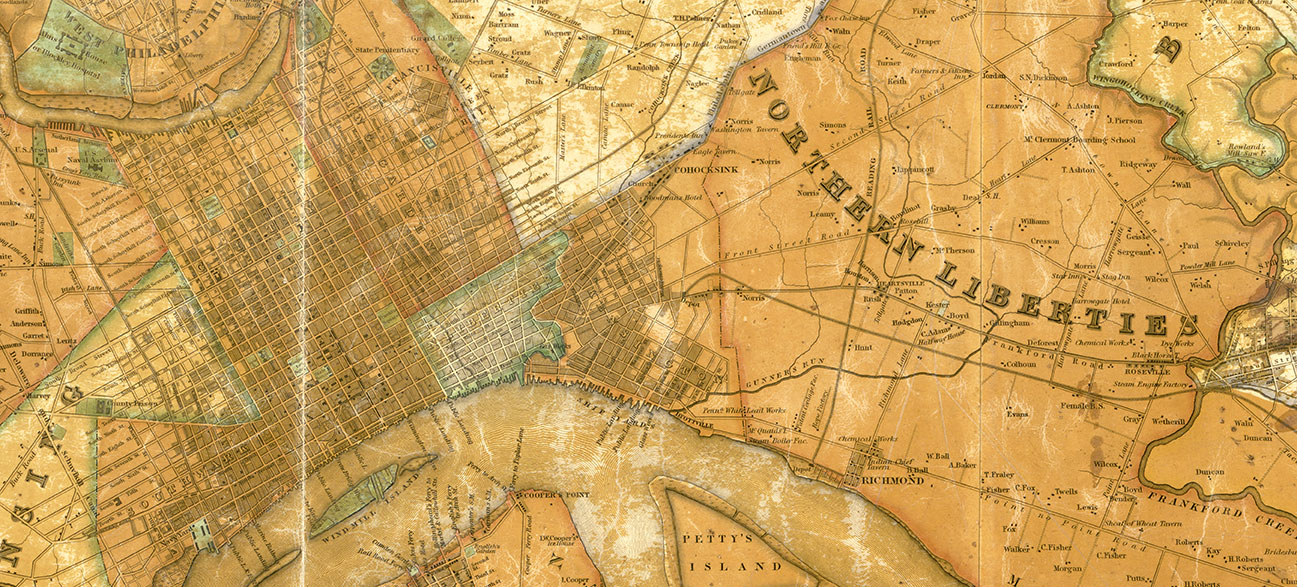
The neighborhoods of Kensington-Fishtown, Northern Liberties and Port Richmond are rich with unspoken history. Use the interactive maps below to explore these fascinating locations and dig sites. What’s hidden in your neighborhood?

neigh-map-icon
Kensington-Fishtown
neigh-map-icon
Northern Liberties
neigh-map-icon
Port Richmond
neigh-map-icon
Pessenewaning
neigh-map-icon
Shoxamekwing
neigh-map-icon
Coaquanock
Cite this page:
AECOM, "Neighborhood Maps," Digging I95, August 18, 2016, https://diggingi95.com/uncategorized/neighborhood-maps/.

Post navigation

Learn More – Recipes & Eating Habits
Catfish Soup
Digging
I95

VISIT US
I-95 Archaeology Center
900 E. Columbia Ave
Philadelphia, PA 19125
215-982-2792

REGULAR HOURS
Most Wednesdays, 12-4 pm
Please call to confirm.
Also open by appointment.

Interactive Maps
Neighborhood History

Project Overview
Interactive Artifacts
Project Galleries
Learn More

Some pages and galleries are temporarily unavailable for viewing while artifacts of potential cultural sensitivity are reviewed. You can find more information here: Department of the Interior Rules Implementation

BE THE FIRST TO KNOW
Sign up for Updates and Information

In Collaboration with:

PennDOT AECOM Federal Highway Administration
Contact Us Terms of Use Content License Agreement
© 2020 DIGGING I95
Digging I95
  • Home
  • Project Overview
  • Interactive Artifacts
  • Photo Gallery
  • Archaeological Sites
    • Upper Delaware Wards
    • Northern Liberties
    • Kensington-Fishtown
    • Port Richmond
  • Learn More